
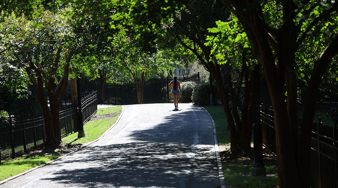
Riverfront runner and University of South Carolina student, Che’breya Rodgers, sets out on her daily run near the Columbia Canal. Photo by Abagael Strating/Carolina Reporter
Have you ever wanted to spend your day of shopping and dining by one of Columbia’s rivers?
Soon, you could be able to.
The city of Columbia’s extension of Williams Street in the Vista is designed to boost accessibility to downtown’s rivers.
The Saluda and Broad rivers converge just north of downtown to form the Congaree. The extension of Williams Street will run along the Congaree, opening up land for greenways, retail shops, restaurants and riverfront apartments.
The main idea behind the project is gaining access to the river – and building on the underdeveloped acreage near the water on former Guignard family property. People already can kayak and float down the river and walk, in small areas, along a greenway. But building on the donated seven and a half acres of land will create easier access for larger numbers of locals and visitors.
“It will give our young folks a place they can go to enjoy themselves and have access to that,” said Clint Shealy, assistant city manager for Columbia Water. “The city is often criticized for having beautiful rivers come through our town, and us not having any access to it. So, this is really going to improve that.”
The road will be parallel with the river between Senate and Blossom streets.
The project’s first $20.6 million phase is in the design stage and will go to bid next month.
Phase One of the project includes construction of 4,700 feet of new and improved roadway, sidewalks, three electric-car-charging stations, two bike-share stations and other infrastructure.
“This is the first piece of a lot of really cool things that’re going to happen,” Shealy said.
What’s coming up
The road will take about 18 months to build.
Through the bid process, the City of Columbia hired a design firm that came up with the plan for the road expansion.
“It’s a huge moment!” said City Councilman Tyler D. Bailey. “We’re capitalizing on our unique resources here in the city, and it’s exciting to be able to make them accessible to all who love the river.”
Shealy said the city’s main focus is the planning and construction of the roadway itself.
Without the roadway, there is no real way to plan further developments by the river, he said.
The new potential developments will be limited because of the risk of being in a floodway so close to the river. There will, however, be construction of some potential greenways, parks, and river access close to the water.
Anything involving residences and businesses will have to be farther from the river, on higher ground. That’s where Williams Street comes in.
Funding for the project
The extension is a $20.6 million project.
That will go toward construction and consulting different firms for the road and what will be built along it. After years of being turned down for federal grants, the city is contributing $16 million to the cost, money it was given by the state of South Carolina.
Richland County’s Penny Tax for Transportation is paying for the additional $4.6 million to cover the rest.
Richland residents voted in 2012 to approve a referendum for the penny-on-the-dollar. It is essentially a 1% sales tax to provide help on county projects.
Why do this?
The University of South Carolina is a partner with the city on the project.
Both are hoping to push students to join residents in taking advantage of being so close to the rivers.
The new Greene Street traffic and pedestrian bridge at the edge of campus was built with help from the university. It aligns with the project because it crosses over a set of train tracks near Greene and Huger streets, allowing for easier access to the river.
The influx of student housing and apartments to the area started a dozen years or so ago. That, along with the construction of the USC baseball stadium, also is moving the city westward.
“I have mixed emotions about expansion because I feel like it will be more crowded,” said USC student and riverfront runner Che’breya Rodgers.”It will affect us runners and walkers who like coming out here for peace.”
On the flipside, walker Jack Switzer said, “I think it would boost tourism like the San Antonio Riverwalk. I think there can be success like that.”

This city map shows where William Street will be extended parallel to the Congaree River. Graphic courtesy of City of Columbia/Carolina Reporter

Many enjoy taking a walk along the Congaree on a sunny afternoon. Photo by Abagael Strating/Carolina Reporter
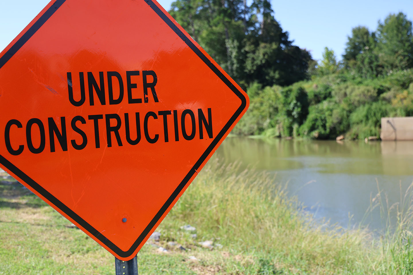
Construction signs line the river, as part of the riverwalk is closed while the Columbia Canal is refurbished. Photo by Abagael Strating/Carolina Reporter
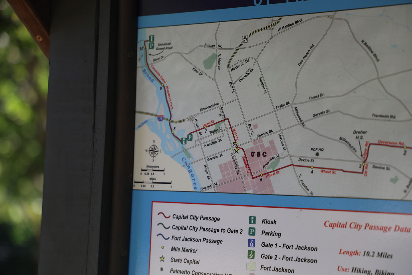
This map shows walking paths downtown, not far from the river. Photo by Abagael Strating/Carolina Reporter
